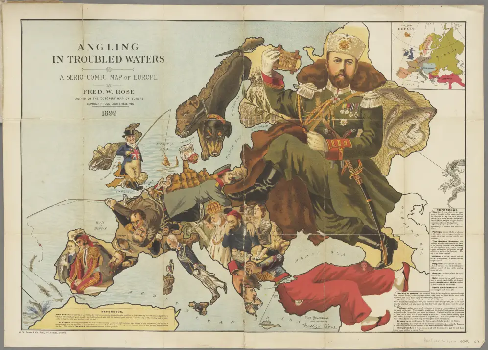
Historical MapsOld mapsSliderWorld Map of Europe showing countries as established by the peace conference at Paris April 30, 2016 Alex One of the earlier National Geographic maps published in 1920. “Europe Showing Countries as Established by the Peace Conference at Paris.” The peace conference at Versailles, following the end of World War I Related Posts:How the World was Imagined: First Maps and AtlasesThe Best World Atlases in 2026The Oldest Cities in the U.S. MappedAtlas of satirical maps of EuropeThe 35 Best Map-Based Strategy Board GamesA map of every national park in the United StatesThe 10 best atlases of the year, according to AmazonThe Best Scratch-Off Maps in 2026